
Cooling temperatures and scattered showers arrive in California
Representative photo · Photo: NOAA / Wikimedia Commons, Public domain
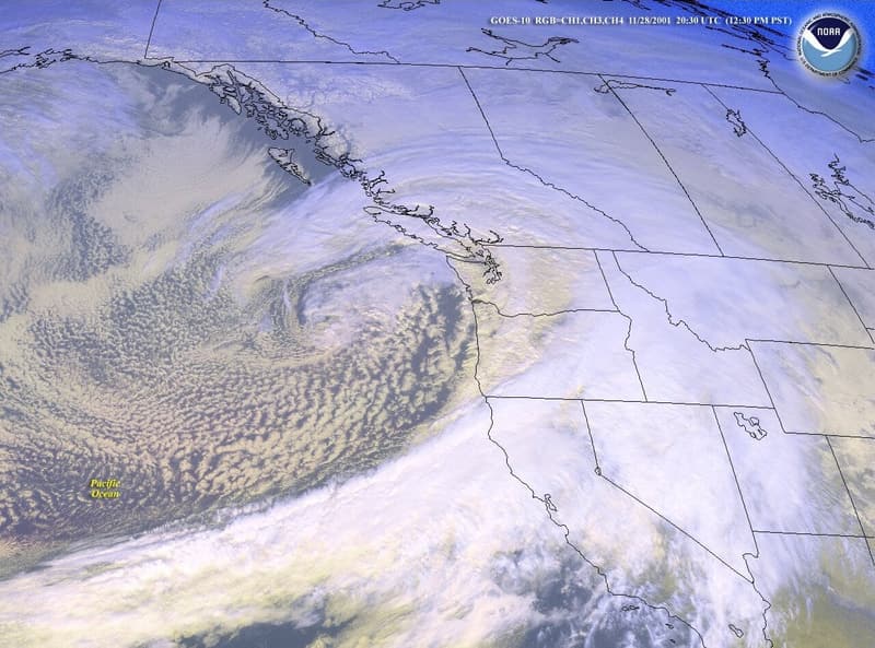
A Pacific storm system is bringing rain and a significant temperature drop to California starting Thursday night, with more wet weather ahead.
A Pacific storm system is moving into California, bringing a dramatic shift in weather that will bring green cooling sun stick or rather a much-anticipated drop in temperatures and scattered showers starting Thursday evening. The initial moisture is expected to impact Northern California heavily while delivering lighter scattered showers to the southern part of the state. Climate scientist Daniel Swain noted during a YouTube discussion that while this is not an extreme winter storm, it will contribute to seasonal precipitation totals that are already above average in Southern California.
Alongside the incoming precipitation, residents are advised to prepare for a notable temperature decline. Daytime highs in coastal communities and downtown Los Angeles recently reached the mid to upper 80s, but temperatures are projected to fall by roughly 10 degrees heading into the weekend. Starting Friday, conditions will settle into the mid to high 60s. Forecasters from the National Weather Service in Oxnard explain that this cooling trend is driven by an offshore weather pattern finally shifting onshore.
Precipitation is expected to begin after 10 p.m. Thursday in Santa Barbara County and past midnight in Los Angeles County. More widespread rainfall is predicted from late Friday afternoon through Saturday morning, with totals potentially ranging from a quarter-inch to an inch. National Weather Service meteorologist Mike Wofford mentioned that while most of the rain will remain light, heavier periods are possible, and minor flood advisories cannot be ruled out for the weekend. Additionally, gusty winds are expected on Friday, featuring sustained speeds near 20 mph and gusts reaching up to 35 mph across inland areas of Los Angeles County.
More storms on the horizon
Following the weekend weather, another system is forecasted to arrive Sunday night and persist through Tuesday. Warm ocean conditions along the California coast may influence the strength of these incoming systems, potentially causing thunderstorms to intensify slightly just before moving onshore. Furthermore, a high surf advisory will span from Friday to Tuesday due to two large swells. West-facing beaches could experience surf heights between eight and 12 feet, prompting officials to warn swimmers about dangerous rip currents.
Temperatures will drop about 10 degrees across Southern California alongside incoming scattered showers.
Why it matters
Temperatures are expected to drop about 10 degrees across SoCal Thursday night and into the weekend, combined with scattered showers. This weather shift affects local communities, coastal residents, and anyone traveling across the region by introducing cooler conditions, wet roads, and hazardous surf alerts.
Sources
More like this

How Scotland made the world rethink monitoring of sewage spills

95-Year-Old Flood Victim Dies After Spending Months Living in Wetherspoons

China Rules Out Hosting the Cop33 Climate Summit in 2028