
Tamil Nadu Weather: IMD Forecasts Rainfall Across Districts Starting Tuesday
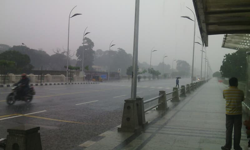
Representative photo · Photo: Aadhitharajan / Wikimedia Commons, CC BY-SA 4.0
The India Meteorological Department has issued a rainfall alert for Tamil Nadu as a deep depression in the Bay of Bengal intensifies into a severe cyclonic storm.
The India Meteorological Department (IMD) has issued a weather alert for Tamil Nadu, forecasting significant rainfall across several districts starting Tuesday, November 17. This comes as a deep depression currently situated over the southeast and adjoining southwest Bay of Bengal continues to intensify. Meteorological data indicates that the system is expected to develop into a severe cyclonic storm by Monday evening, eventually tracking toward the Andhra Pradesh coast as a very severe cyclonic storm by the night of November 19.
As the region prepares for the impact of this weather system, residents of Tamil Nadu are monitoring the situation closely. While the state is known for its diverse geography and cultural significance, the immediate focus remains on the changing atmospheric conditions. The IMD has specifically noted that heavy rain, accompanied by thunderstorms and lightning, is expected in Chennai on Tuesday. Beyond the capital, light to moderate rainfall is anticipated at many locations throughout North Tamil Nadu and Puducherry, with isolated areas likely to experience heavy downpours on November 17 and 20.
A deep depression in the Bay of Bengal is set to bring heavy rainfall to Tamil Nadu districts.
In the 24-hour period leading up to 5:30 am on Monday, Tuticorin recorded the highest rainfall in the state at 20 mm. Given the strengthening intensity of the weather system, the Met department has issued a strict advisory for the maritime community. Fishermen operating along the Tamil Nadu coastal areas have been warned against venturing into the sea until November 21 to ensure their safety as sea conditions deteriorate.
Monitoring Tamil Nadu Weather Developments
The current weather pattern is part of a larger system that was positioned approximately 840 km east-southeast of Chennai as of 8:30 am on November 15. As the depression barrels toward the coast, the IMD continues to track its trajectory and intensity. Official releases have emphasized that multiple districts should brace for the effects of this system over the coming days. Authorities are urging the public to stay updated with local weather bulletins and follow safety protocols as the cyclonic activity progresses.
Why it matters
The intensification of this deep depression into a severe cyclonic storm poses a significant risk to coastal infrastructure and local communities in Tamil Nadu and Puducherry. The forecast of heavy rainfall and potential storm surges necessitates heightened vigilance from both residents and local authorities.
For those in the region, the advisory against fishing activities is a critical safety measure to prevent loss of life at sea. The expected weather conditions could lead to localized flooding and disruptions, making it essential for the public to heed warnings from the meteorological department as the system moves toward the Andhra Pradesh coast.
Sources
More like this

Delaware hit by rare November tornado as severe storms strike

Beavers could return to the River Waveney as reintroduction plans explored

Weakening UK electric vehicle targets could hinder industry and consumers