
Severe thunderstorms and giant hail forecast for NSW as wild weather hits
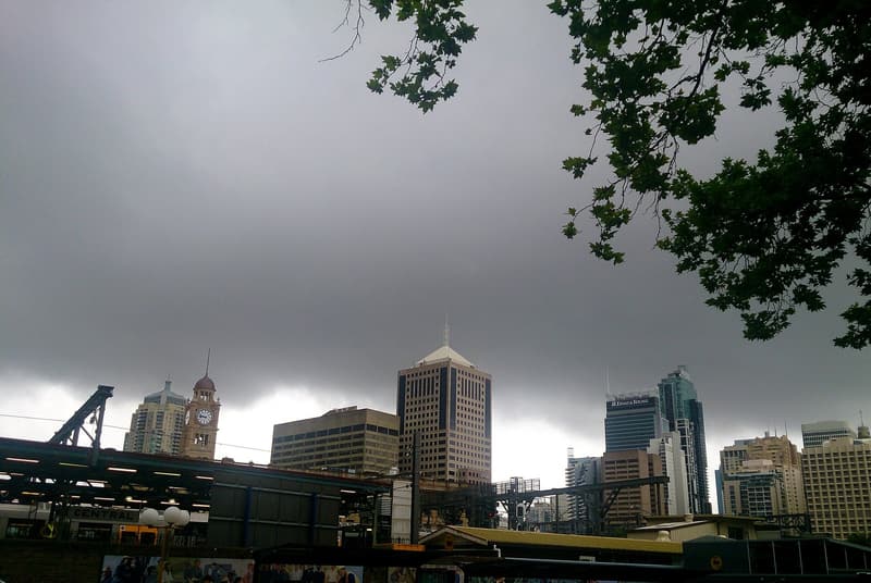
Representative photo · Photo: FotoSleuth / Wikimedia Commons, CC BY 2.0
Dangerous supercell thunderstorms are forecast for New South Wales and parts of Queensland, following heavy rain and a lightning strike incident.
Parts of New South Wales and Queensland face severe weather warnings as volatile conditions persist across eastern states. Forecasts indicate potential supercell thunderstorms capable of producing giant hail and destructive winds. This ongoing atmospheric instability follows heavy rainfall and strong winds recorded across the region on Saturday, including wind speeds reaching nearly 98km/h in Goulburn and significant rainfall totals in Coffs Harbour.
During Saturday's storms, a young man was struck by lightning while swimming at Ettalong Beach on the NSW Central Coast. First responders provided CPR at the scene before paramedics transported him to the hospital, where he remained in a critical yet stable condition by Sunday morning. Witnesses noted that the lightning bolt appeared unexpectedly from a distance while the immediate beach area remained sunny, highlighting that lightning can strike far from the center of an active storm cell.
Severe Thunderstorms NSW Forecast
Bureau of Meteorology senior meteorologist Sarah Scully stated that Sunday would bring additional high-end storm activity driven by a southerly coastal push. North-eastern New South Wales could experience hail exceeding five centimeters in diameter and winds surpassing 120km/h. Broader regions extending toward Sydney's inland ranges and parts of Queensland were also considered at risk for heavy downpours, flash flooding, and damaging wind gusts.
Dangerous supercell thunderstorms bring giant hail and powerful winds to eastern Australia.
On Monday, the threat of severe weather is projected to shift toward the New South Wales northern rivers and south-eastern Queensland, including Brisbane, the Gold Coast, and the Sunshine Coast. A developing coastal trough near the Queensland border could additionally deposit moderate to heavy rainfall along the coast, though exact precipitation totals remain difficult to predict accurately.
Why it matters
This severe weather event impacts local communities, commuters, and public safety across eastern Australia through potential property damage, travel disruptions, and flash flooding risks. Residents in affected zones must remain vigilant as authorities continue issuing updated weather warnings.
Sources
More like this

COP31: UN Climate Chief Urges Negotiators to Avoid Tactical Delays

Dubai Design Week Highlights Architecture and Sustainability
Choking Fires and Deadly Heat: 2026 in Extreme Weather