Met Office Issues Rain Warning as England Cold Weather Shifts
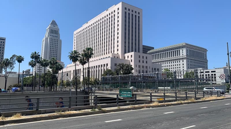
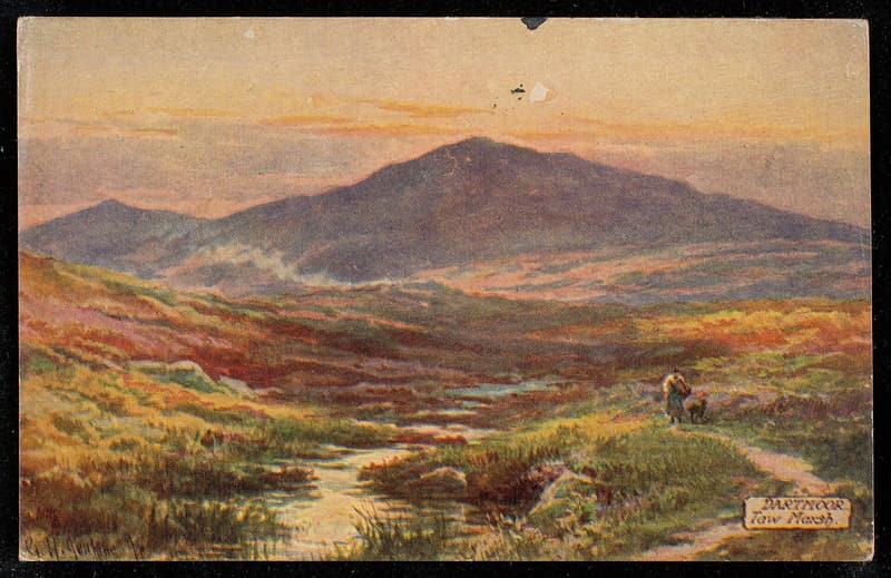
Representative photo · Photo: Unknown author Unknown author / Wikimedia Commons, Public domain
Freezing temperatures are giving way to heavy rainfall and flood alerts in south-west England as the Met Office issues a new weather warning.
Freezing conditions across parts of the nation are beginning to transition into heavy precipitation as meteorologists issue formal alerts for south-west England. A slow-moving band of moisture is advancing across Cornwall and Devon, bringing severe weather conditions following a period of intense chill that gripped the region earlier in the week.
The Met Office has implemented a yellow warning starting Sunday at 6am through midnight. Forecasters predict widespread totals of 20mm to 40mm within the affected zone, while certain areas in south Devon and Cornwall could experience 60mm to 80mm of rainfall. Over Dartmoor, projections indicate that precipitation levels may exceed 100mm throughout the course of the day.
Heavy rainfall threatens south-west England with floods and power outages following freezing temperatures.
Chief forecaster Matthew Lehnert noted that although the heaviest totals are anticipated in higher elevations, some uncertainty remains regarding the exact trajectory of the most intense precipitation. Citizens are advised to monitor the latest updates as the system progresses.
The incoming wet weather follows a severe drop in temperatures. Friday night registered the lowest reading of the autumn season, with Tulloch Bridge in the Scottish Highlands dropping to -10.6C, surpassing Thursday's record of -8.4C at the same location. Meanwhile, the UK Health Security Agency maintained yellow health alerts across north-west England, north-east England, and Yorkshire and the Humber until Tuesday morning.
While a widespread frost is expected across the UK on Saturday night, conditions outside of the south-west are forecasted to turn warmer and largely drier on Sunday. However, authorities caution that residents within the warning zone must remain vigilant against potential hazards.
Why it matters
The abrupt shift from freezing temperatures to torrential downpours introduces significant risks to vulnerable populations, transportation networks, and local infrastructure. Active flood alerts and potential power disruptions require heightened caution from travelers and residents alike within the affected regions.
Furthermore, prolonged health warnings in northern England highlight ongoing pressures on public health services as cold conditions persist. Staying informed on meteorological updates remains crucial for mitigating travel disruptions and safety hazards.
Sources
More like this
Florida residents turn to kayaks and rafts as floods swamp streets

Devon charity and council launch sessions offered to help with energy costs

China Commits to Low-Carbon Electrification and Global Assistance at Cop31